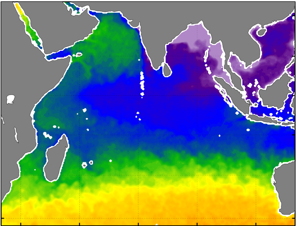
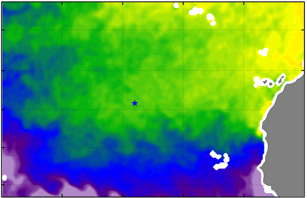
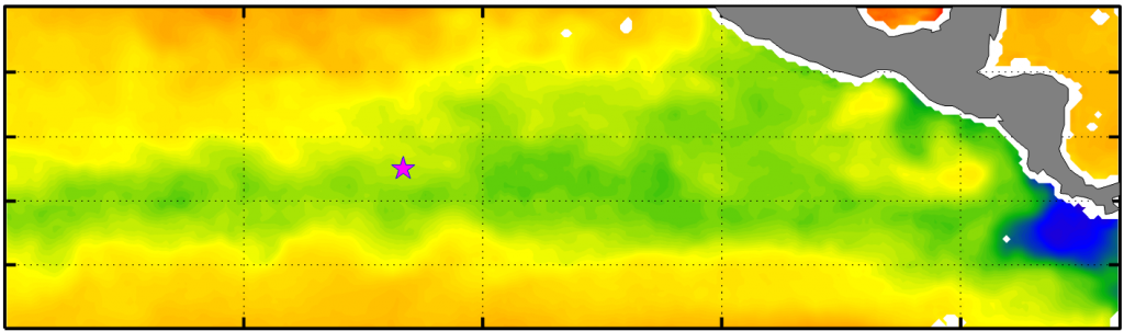
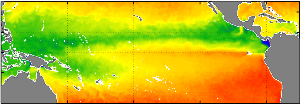
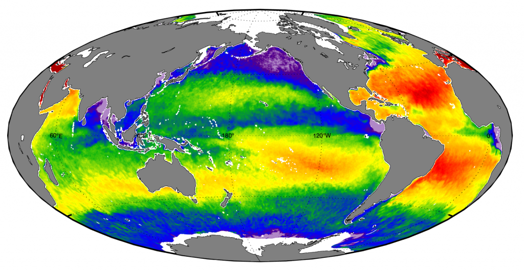
We provide monthly global sea surface density and gradient maps made from SMAP or SMOS salinity data, along with GHRSST Level 4 AVHRR_OI Global Blended Sea Surface Temperature Analysis . For more information on the monthly files used to create these maps, see readme_monthly_sst.pdf and readme.pdf.
Maps (*.png) are available to view and download through the links below. Maps are also available to download directly from: https://salinitydata.org/files/figure/monthly/
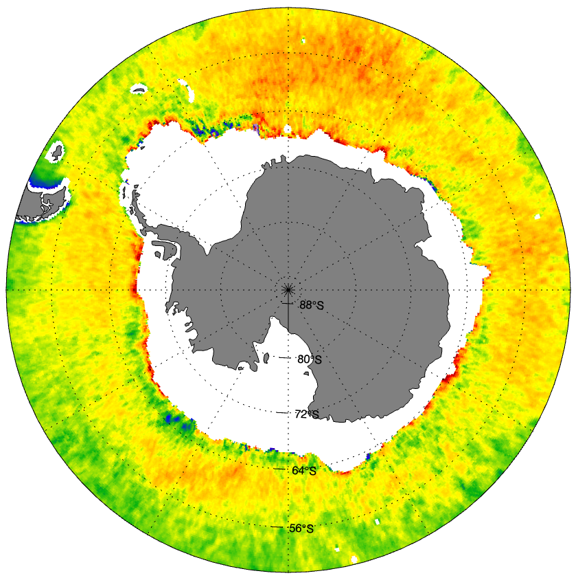
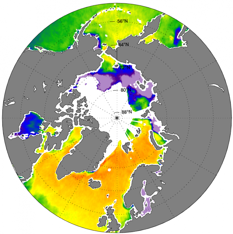
Global
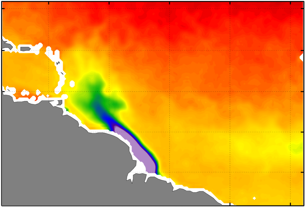
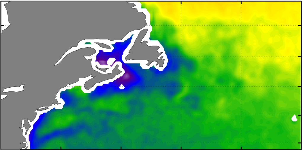
Regional