Home > What We Do > Research > Fieldwork & Instrument Development
Fieldwork is an essential part of the data collection required in order to answer questions on the forefront of scientific inquiry. ESR scientists have contributed to numerous field campaigns aimed at studying the nuances of Earth’s dynamics and have developed strong skillsets in field methods.
This NASA funded field campaign was designed as a pair of experiments designed to “understand causes behind the patterns and variations of salinity at the ocean surface.” SPURS 1 took place in a region of the North Atlantic Ocean where evaporation is large, while SPURS 2 took place in the tropical Eastern Pacific ITCZ where precipitation is substantial. See https://podaac.jpl.nasa.gov/SPURS to learn more.
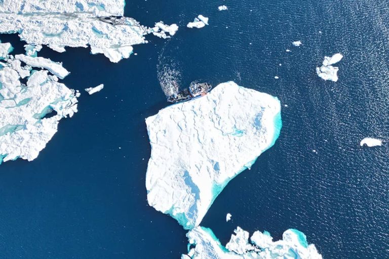
This field campaign, funded by NASA, explored the role of sea surface salinity (SSS) on the formation of sea ice and how summertime SSS might be used to better predict fall ice formation. See https://salinity.oceansciences.org/sassie.htm to learn more.
The backbone of our ocean observational network, the international GO-SHIP program continues the legacy of WOCE and CLIVAR to sustain decadal hydrographic surveys of the worlds ocean’s. Hydrographic surveys remain our only means of collecting high-quality observations of the ocean’s properties (physical, chemical, biological) over the full depth of the water column. The US component of GO-SHIP is funded by NSF and NOAA. Find out more at http://www.go-ship.org/About.html and https://usgoship.ucsd.edu/
The ICECAPS-MELT experiment is an extension of the Arctic Observing Network experiment ICECAPS that aims to understand the impact of the atmosphere, clouds, and precipitation on the energy and mass balance of Greenland. The ICECAPS-MELT experiment brought the development of a ‘medium-powered’ autonomous cloud observatory modeled after the ICECAPS cloud and atmosphere observatory at Summit, Greenland. The novel platform was successfully deployed at Camp Raven, Greenland during the summer of 2024. Learn more about the ICECAPS-MELT experiment.
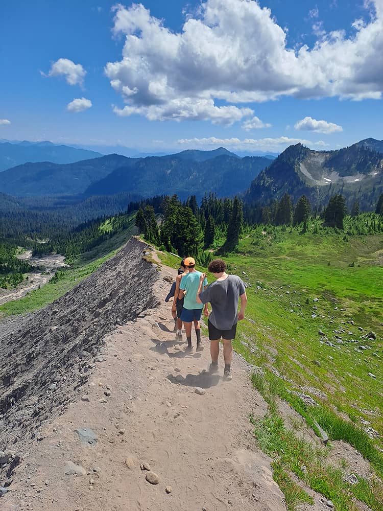
The Mount Baker Climate Laboratory (MBCL) is a citizen science collaboration between ESR and several institutions. Initially designed as a data science/geoscience sandbox for youth, the MBCL has become an Open Science experiment in which professional scientists co-create with citizen scientists. At the center of this project is an ongoing time series of temperature (2018-present) on the southern ascent of Mount Baker. Temperature is measured via autonomous, volatile memory sensors in arrays designed to allow retrieval of air temperature, soil temperature, cloudiness, snow extent, and snow depth. Citizen scientists (e.g., high school students, guides) deploy and retrieve all sensors from the mountain base to the summit. High school students, undergraduate students, and professional scientists analyze and ask questions of the data in collaboration to understand this important and vulnerable ecosystem. Learn more at our GitHub project site.
The SNOWISO project investigates the hypothesis that climate-relevant water isotope signals in polar snow change rapidly in response to local climate influences. Some important results from this work indicate that water isotopes in polar snow are not just indicators of source region or local atmospheric and cloud conditions, but also integrate local climate information through snow metamorphism. Learn more about SNOWSIO
In collaboration with the Norwegian Polar Institute and University of Leeds, ESR scientists have designed and deployed a cloud and microclimate measurement observatory at Troll Station, Antarctica. A primary goal of ICO is to better understand the energy and water mass fluxes in and out of the East Antarctic Ice Sheet (EAIS). Currently, snowfall and snow redistribution in the EAIS are the largest uncertainties in Antarctica’s contribution to global sea level rise. Read about the TONe Integrated Cloud Observatory.
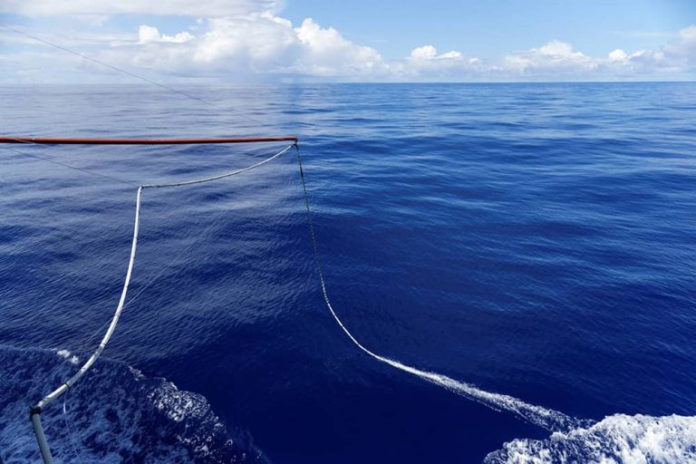
The Salinity Snake is a ship deployable instrument designed to measure salinity at 1cm depth, the same depth that satellites measure ocean salinity from space. ESR scientist Julian Schanze, with collaborator Raymond Schmitt at WHOI, conceived and developed the salinity snake after recognizing that there was no existing instrumentation capable of measuring salinity at these shallow depths. The salinity snake has been deployed during the SPURS 1& 2, and SASSIE field campaigns.
Learn more about the design of the salinity snake here:
The Lyte Probe is a low-cost, snow hardness and crystal structure probe developed by Micah Johnson at Adventure Data. Since 2022, Michael Town has helped improve the scientific and operational abilities of this probe by developing and ground-truthing improved depth tracking algorithms, as well as other operational design features important for scientific and backcountry use. The Lyte Probe has been deployed as part of the SNOWISO and ICECAPS-MELT experiments through a partnership with Adventure Data.